Framed Prints
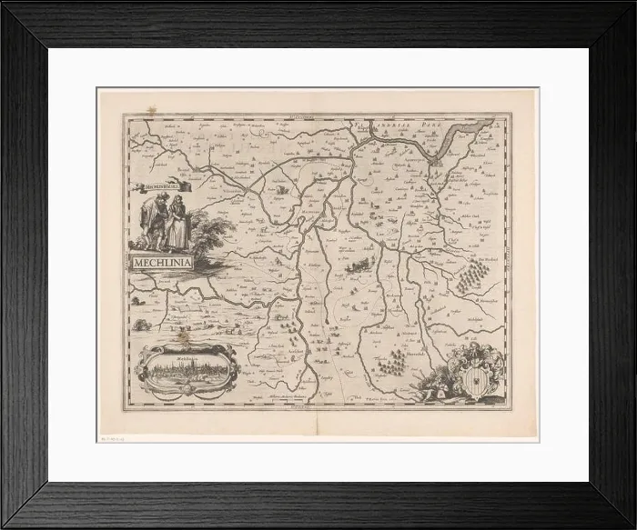
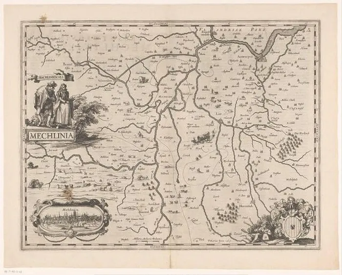
Framed Print of Kaart van een deel van Vlaanderen Mechlinia (titel op object) Map of part of Flanders
Kaart van een deel van Vlaanderen Mechlinia (titel op object) Map of part of Flanders, the area around Mechelen. Under the right arm of Mechelen also a piper. Bottom left a cartouche with a view of the city of Mechelen. To the left of the card suit two figures, which depict people of Mechelen. Down, left of center, a scale bar: 2 Milli Aria Mediocria Brabantiae. The card is provided with a degree scale along the edges. On verso Latin tekst. Manufacturer : printmaker: anonymous publisher: Pieter van den Keere (listed property) Place manufacture: Amsterdam Date: 1617 - 1622 Physical features: e Kaart van een deel van Vlaanderen Mechlinia (titel op object) Map of part of Flanders, the area around Mechelen. Under the right arm of Mechelen also a piper. Bottom left a cartouche with a view of the city of Mechelen. To the left of the card suit two figures, which depict people of Mechelen. Down, left of center, a scale bar: 2 Milli Aria Mediocria Brabantiae. The card is provided with a degree scale along the edges. On verso Latin tekst. Manufacturer : printmaker: anonymous publisher: Pieter van den Keere (listed property) Place manufacture: Amsterdam Date: 1617 - 1622 Physical features: etching and engra; with text in the letterpress on verso material: paper Technique: engra (printing process) / etch / letterpress printing size: plate edge: H 378 mm × W 492 mmToelichtingPrent used in: Keere, Pieter van der. Germania inferior id est, Provinciarum ejus novae tabulae et exactae geographicae. 1st edition. Amsterdam: Pieter van den Keere, 1617. Or: Keere, Pieter van der. Germania inferior id est, Provinciarum ejus novae tabulae et exactae geographicae. 2nd ed. Amsterdam: Pieter van den Keere, 1622. Subject: maps of separate countries or regions coat of arms (as symbol of the state, etc.) (+ city; municipal) prospect of city, town panorama, silhouette of city folk costume, regional costumebagpipe, musette - CC - out or where: Flanders Mechelen. © Art World
Your chosen combination is quickly and professionally made to order, our shipping page has more details
If you are not entirely happy with your items, simply return them to us within 30 days for a replacement or full refund. Please read our full returns policy.
Media ID 49227975
17th Century Areas Borders Cartographic Cartography Cartouche Cities City View Degree Depiction Design Culture Detailed Dutch Flanders Flemish Geographical Maps Printed Printing Regional History Regions Scale Symbols Topographical Towns
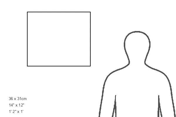
Modern Frame 14"x12" (36x31cm)
Ready to Hang Contemporary Framed Prints adds style, protection, and a polished touch to your space - effortlessly.
Your artwork will be printed as shown in the preview. To adjust please select Edit Printed Image under the Buy button
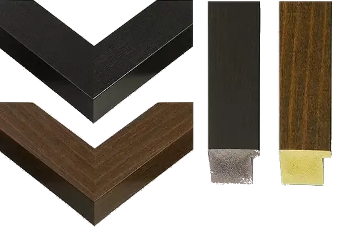
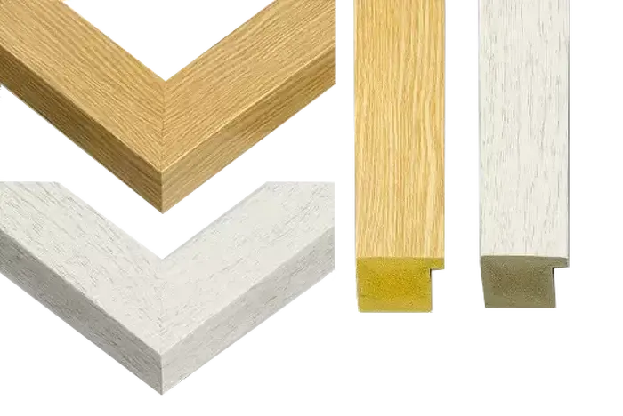
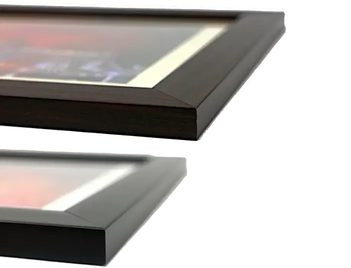
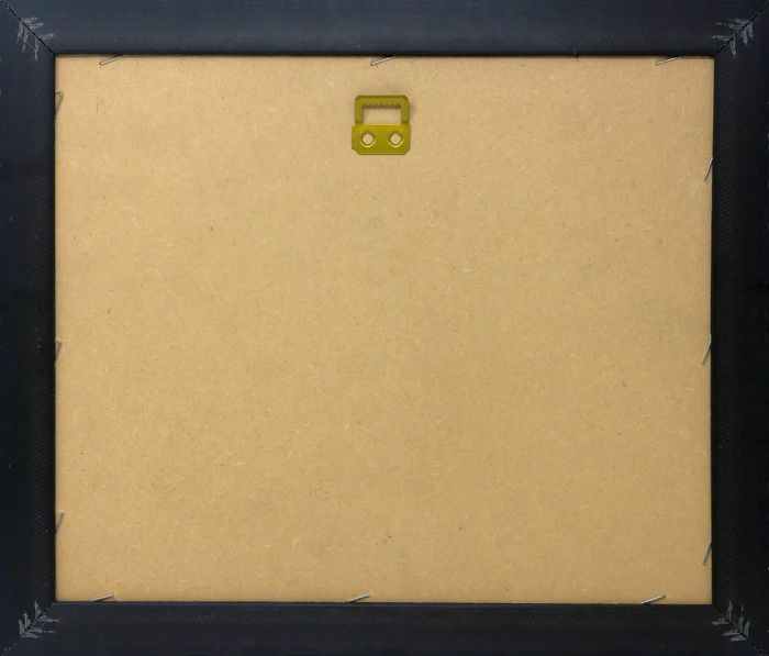
Wood effect frame, card mounted, 10x8 fade resistant photo print. Overall outside dimensions 14x12 inches (36x31cm). Environmentally and ozone friendly, 40mm wide x 15mm Polycore® moulding has the look of real wood, is durable and light and easy to hang. Biodegradable and made with non-chlorinated gases (no toxic fumes) it is efficient; producing 100 tons of polystyrene can save 300 tons of trees! Prints are glazed with lightweight, shatterproof, optical clarity acrylic (providing the same general protection from the environment as glass). The back is stapled hardboard with a sawtooth hanger attached. Note: measurements provided are estimated outer dimensions, which include both the image and the frame. While we aim to keep sizing consistent, exact dimensions may vary slightly due to differences in print size or production requirements, which may result in a variation in the overall size (up to approximately 2.5cm (1"))
These are individually made so all sizes are approximate
Estimated Image Size (if not cropped) is 24cm x 19.3cm (9.4" x 7.6")
Estimated Product Size is 36cm x 31cm (14.2" x 12.2")