Skip to main content
Collections
Trending
Checkout
www.alamy.com
Sign In
Historical Geography Prints
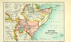
Map of British East Africa From the Book Britain across the seas : Africa
£69.98 Framed (other products available)
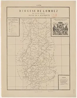
A map dated 1727 records the Diocese of Lombez as divided into five districts
£69.98 Framed (other products available)
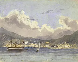
75 King George's Sound
£69.98 Framed (other products available)
English: Marie-Gabriel-Florent-Auguste Comte de Choiseul-Gouffier
£69.98 Framed (other products available)
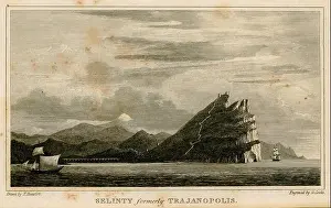
1305 Selinty formerly Trajanopolis - Beaufort Francis F - 1817
£69.98 Framed (other products available)
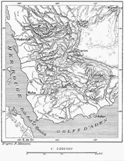
399 D125-Territoire du Yemen.-L2-Ch5
£69.98 Framed (other products available)
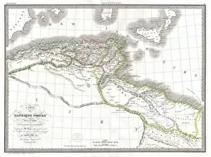
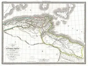
Carte de L'Afrique Propre de la Numidie et D'une Partie de la Mauritanie
£69.98 Framed (other products available)
This map, created by William R
£69.98 Framed (other products available)
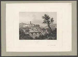
This print, made between 1850 and 1855 by Anton Winterlin and Johann Jakob Tanner
£69.98 Framed (other products available)
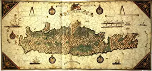
English: Giorgio Sideri's map of the island of Candia (1562)
£69.98 Framed (other products available)
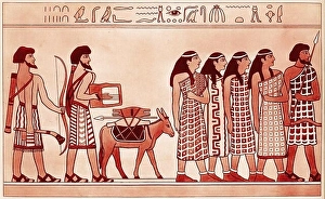
illustration of a group of Canaanites trading in Egypt
£69.98 Framed (other products available)
Chyse Castle, Zamek Pivovar, Czech Republic, Europe
£69.98 Framed (other products available)
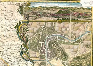
Русский: Plan of Laibach, 1744
£69.98 Framed (other products available)
English: An unusual and attractive 1829 map of the ancient empires of Mauritania
£69.98 Framed (other products available)
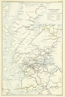
BI(1887) p.967 Railways in Scotland J. Bartholomew and Co
£69.98 Framed (other products available)
All products are expertly crafted, using premium materials, tailored to your specifications and promptly shipped
© Copyright Alamy Ltd - All Rights Reserved 2026
Orders fulfilled by
Media Storehouse
®