Framed Prints
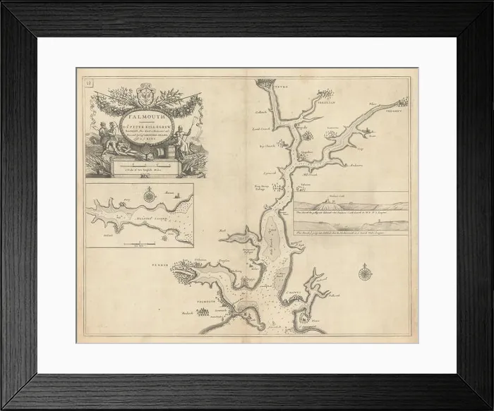
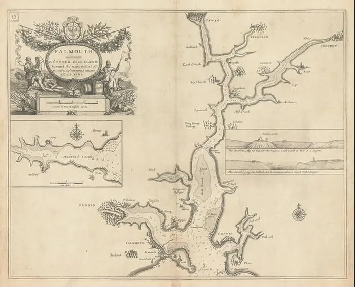
Framed Print of FALMOUTH, Carrick Roads & Helford River sea chart. Truro. COLLINS 1723 old map
FALMOUTH, Carrick Roads and Helford River sea chart. Truro. COLLINS 1723 old map Falmouth - To Sr. Peter Killegrew Baronet. This Map Is dedicated and presented by Capt. Greenvile Collins, Hyd. to ye King. Artist/engraver/cartographer: Captain Greenvile (or Greenville) Collins. Collins was an officer of the Royal Navy and prominent hydrographer, who was commissioned by King Charles II in 1676 and appointed by Samuel Pepys (then Secretary to the Admiralty), to chart the coasts of Great Britain. The resulting atlas - Great Britain's Coasting Pilot - was the first original sea atlas to be produced by an Englishman. Prior to publication of these maps, nautical charts were often defective, and there was no centralised system for collecting and disseminating the better maps made by experienced seamen. In 1681, Collins gained the king's preferment to survey the country's coasts. The Admiralty supplied Collins with the 8-gun yacht HMS Merlin for the first two years and later the yacht HMS Monmouth until 1686. His work was carried out under the supervision of Trinity House, who also supported the project financially. Samuel Pepys insisted that Collins be made a younger brother of Trinity House. Collins spent seven years on the survey, the first edition of which was published in 1693, as "Great Britain's Coasting Pilot". The charts, while not completely accurate, were an enormous advance on anything before them, entitling Collins to rank as not only one of the earliest, but also among the best of English hydrographers. Twenty-one further editions were published during the eighteenth century. Provenance: "Great Britain's Coasting Pilot: being a new and exact survey of the sea-coast of England and Scotland from the river of Thames to the westward and northward; with the islands of Scilly and from thence to Carlisle; likewise the islands of Orkney and Shetland, describing all the harbours, rivers, bays, roads, rocks, sands, buoys, beacons, sea-marks, depths of water, latitude, bearings and distances from place to place. The setting and flowing of the tides; w. © Antiqua Print Gallery
Your chosen combination is quickly and professionally made to order, our shipping page has more details
If you are not entirely happy with your items, simply return them to us within 30 days for a replacement or full refund. Please read our full returns policy.
Media ID 49168578
1676 1723 18th Admiralty Atlas Capt Captain Charles Ii Chart Coasts Collins Cornwall Dedicated Eighteenth Falmouth Greenville Hydrographer King Officer Original Peter Pilot Presented Royal Navy Secretary Truro
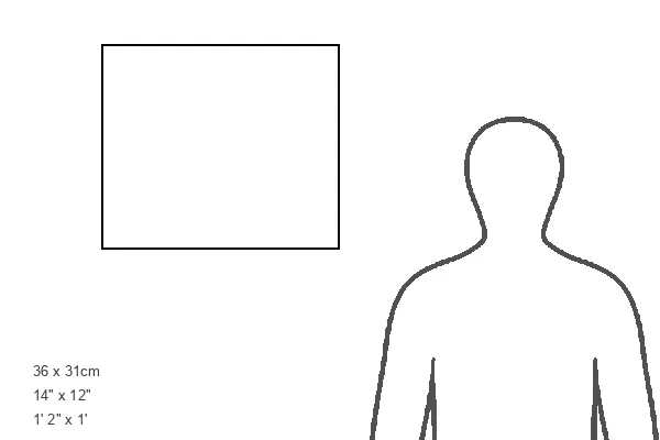
Modern Frame 14"x12" (36x31cm)
Ready to Hang Contemporary Framed Prints adds style, protection, and a polished touch to your space - effortlessly.
Your artwork will be printed as shown in the preview. To adjust please select Edit Printed Image under the Buy button
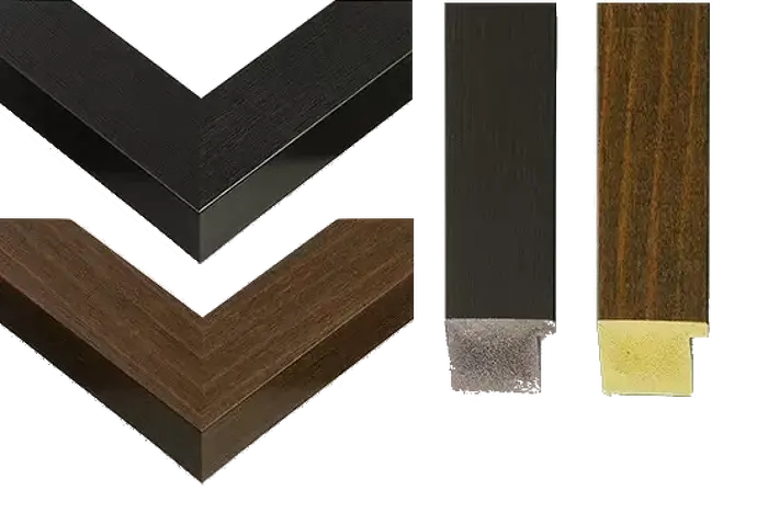
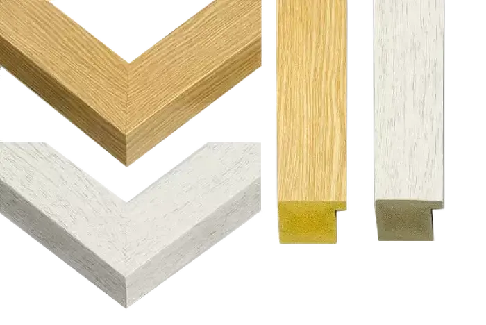
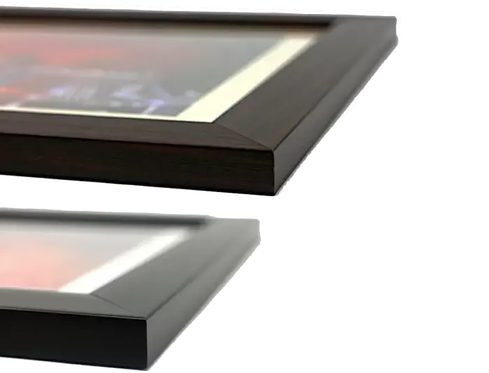
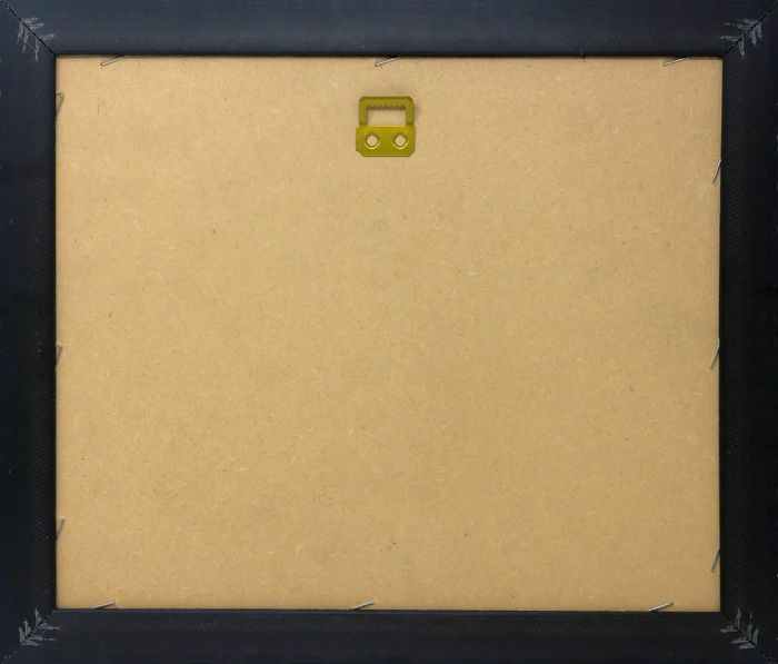
Wood effect frame, card mounted, 10x8 fade resistant photo print. Overall outside dimensions 14x12 inches (36x31cm). Environmentally and ozone friendly, 40mm wide x 15mm Polycore® moulding has the look of real wood, is durable and light and easy to hang. Biodegradable and made with non-chlorinated gases (no toxic fumes) it is efficient; producing 100 tons of polystyrene can save 300 tons of trees! Prints are glazed with lightweight, shatterproof, optical clarity acrylic (providing the same general protection from the environment as glass). The back is stapled hardboard with a sawtooth hanger attached. Note: measurements provided are estimated outer dimensions, which include both the image and the frame. While we aim to keep sizing consistent, exact dimensions may vary slightly due to differences in print size or production requirements, which may result in a variation in the overall size (up to approximately 2.5cm (1"))
These are individually made so all sizes are approximate
Estimated Image Size (if not cropped) is 23.9cm x 19.3cm (9.4" x 7.6")
Estimated Product Size is 36cm x 31cm (14.2" x 12.2")